
GPS Navigation on Everyone’s Smartphone and its Consequences Have Been Awesome for the Human Race
Ben Franklin, probably
I wasn't a GPS guy, I used Google maps to get to unfamiliar places but that was about it. That is, until a local ADV rider introduced me to OsmAnd, an open source route planning app.
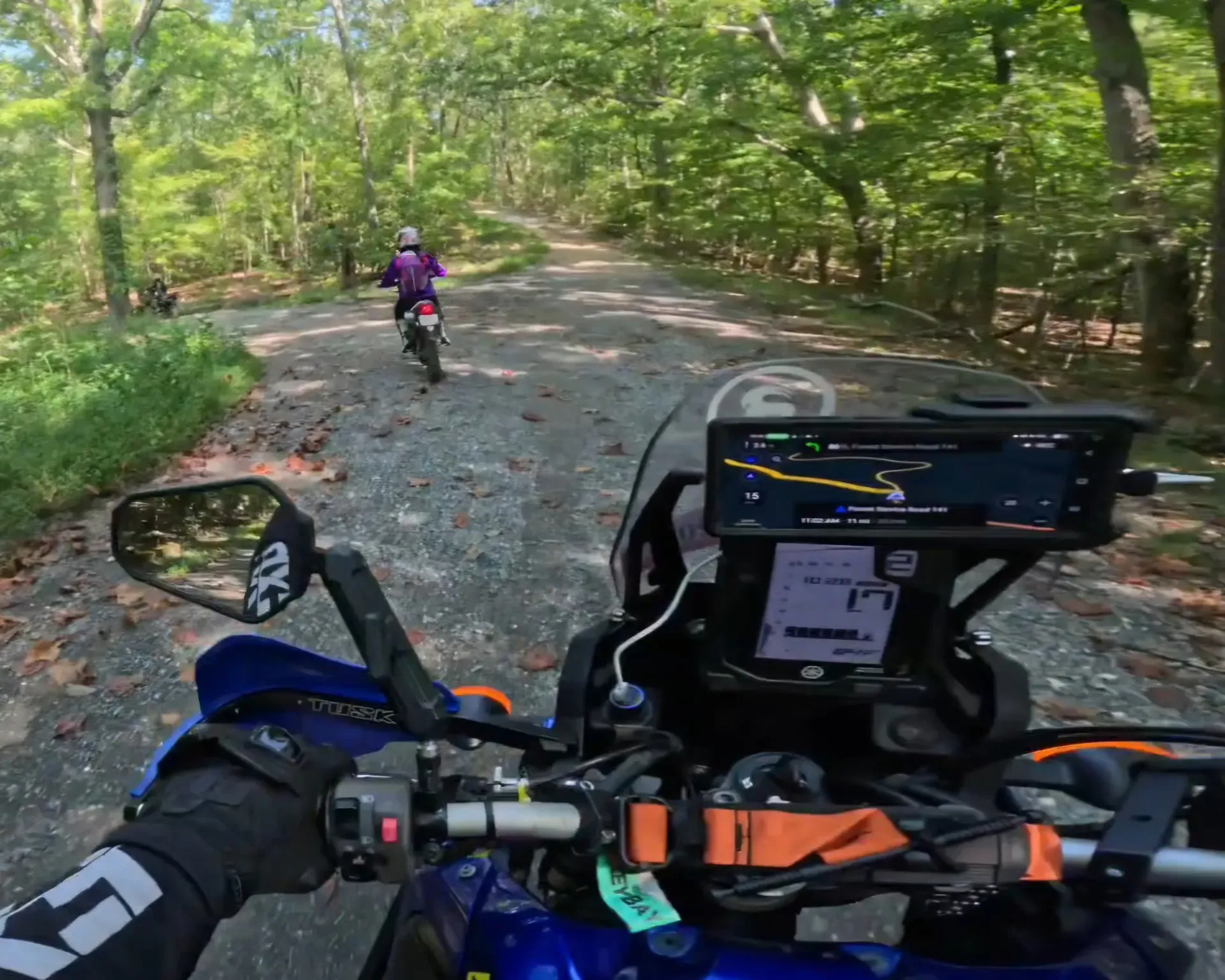
I had been shown route planning apps before but none of them really stuck for me as they were either too dumbed-down to be useful, or had crucial features hidden behind a pay wall. In this case though, the important bits were free and I was recovering from a broken leg which led to me spending copious amounts of time route planning as the closest thing I had to riding.
After (mostly) recovering and getting back in the saddle, I’ve been working through a backlog of planned routes.
Some of the routes were great, some were illegal, a lot of them were boring, and my GPS tried to kill me - well, not really, I was just watching the screen instead of the road.
After working through some of my backlog of planned rides, a few patterns became obvious that I think everyone should consider.
1. Mapping Software Knows Where A Road is, not whether you should be riding it
Mapped ≠ public ≠ legally accessible ≠ currently open ≠ suitable for motorcycles.
You want to avoid roads that are private, seasonal, restricted access, or illegal. Adventure riders are most vulnerable to this as we actively seek roads that look neglected, but anyone exploring can be bamboozled, and different mapping sources have different strengths.
Google maps is ultra conservative about which roads it deems safe enough to let you ride down, and therefore you may miss out on perfectly viable routes. Conversely, Open Street Maps will show you any road that has been mapped, but open source mapping software is liable to send you down someone’s driveway if it resembles a road.
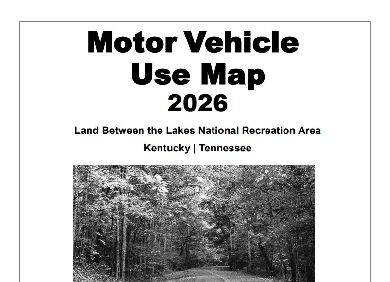
To get the most of the roads when you’re planning a trip to a new area, it’s a good idea to check alternative mapping resources including those specific to the area you’re riding; like the US Forest Service for information about Land Between the Lakes, for example. (LBL Motor Vehicle Use Map)
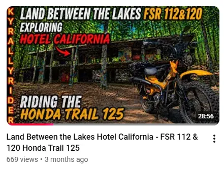
There are wonderful riders vlogging popular routes and offering local knowledge, check social media for these heroes amongst us & show some support if you can. For dualsport and adventure riding in my area I watch a lot of KyRallyRider and TNValleyDualSport.
2. Automatic Routes Don’t Account For Motorcycles
For commuting purposes, Google maps has an unrivaled amount of real time and historic traffic data it uses to help get you home as fast as possible. But, I can think of a few sketchy (and illegal) moves Google maps wants me to do any time traffic is bad near my office.
I still find value in having Google maps running during my commute but I always double-check the route when I’m being directed down roads I don’t know and I never blindly trust the GPS instructions.
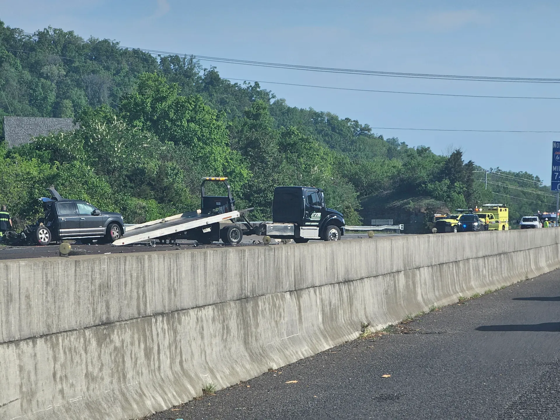
I think running GPS on your commute is a net positive, but when Google sends me to do 7 unprotected left turns during rush hour I start wondering if big tech is punishing me for criticizing the algorithm. Whatever, as long as you pull over to double check your map when your route changes, running GPS with live traffic will save lots of headache on your commute.
3. The Twisties That Aren't
Boring straight roads that look twisty on a map, another GPS disappointment.
If you zoom out far enough on any map every road looks like it's made entirely of bends like someone spilled spaghetti on the map. It can be easy to assume that any of those squiggly lines will be a good ride. Not necessarily. Those curves might be gentle sweepers that barely require any lean, or they might be separated by long stretches of straight pavement.
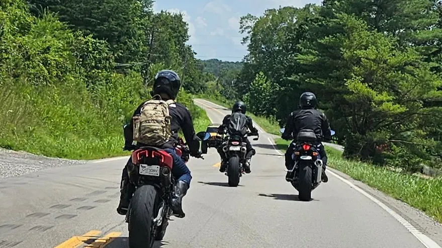
I haven’t figured out a perfect solution for “catfish” roads but I will say when planning a backroads route: Numbered highways are rarely as twisty as they look. Any of those actual major or local highway will be designed with some semblance of boring safety & efficiency in mind.
Consider stepping off the beaten path and hitting local roads. The speed limits are lower, but if the road is twisty enough it more than makes up for the slower pace in my opinion.
4. The Most Dangerous GPS Setting is Looking at It
It's really tempting to watch the map to anticipate how hot you can come into a curve, but maps give a false impression of what the curve really feels like. A bend on screen could appear gentle, but in reality be surprisingly sharp. I’m not sure why this problem is so noticeable on a bike and not in a car, but the point is: If you're staring at the GPS to prepare for a corner you're gonna slide.
It seems obvious but your eyes should be outside the cockpit, looking as far forward as conditions allow. You may need to consciously remember this or dim your phone screen to help reduce the urge to watch your navigation screen.
We already have enough demands on our attention between intersections, pedestrians, wildlife, and the frankly alarming behavior of other traffic. Adding a navigation display to your field-of-view creates another distraction, even if you're an otherwise attentive rider.
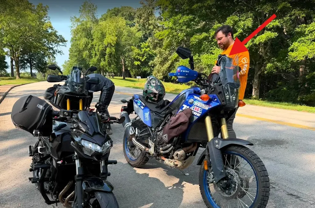
I have my phone mounted horizontally above my dash, it’s a good position for quick glances but requires extra discipline to keep my eyes off the screen. My phone allows different “modes” to be triggered when I connect to bluetooth devices such as my helmet speakers. Part of my riding mode routine is blocking non-essential notifications and having important notifications read out-loud to me.
GPS Is a Tool, Not a Riding Partner
GPS navigation is one of the most useful tools a motorcyclist can carry. It can help you discover unfamiliar roads, find your way home, and build memorable trips.
Becoming proficient with OsmAnd has changed my perspective of route planning, and I'm constantly wanting to check my map and document new roads every time I go for a ride. If you're curious, download a route planner and take a look at the area around you on a map - just remember:
Verify access and current conditions independently of your routing app.
If the GPS changes your route unexpectedly, don't blindly follow it. Stop somewhere safe and verify the new route.
Don't judge a road by how many times it bends on the map; look for evidence of road character.
We ain't pilots, we don't fly by instrumentation. Get your eyes of that screen and watch for deer & traffic.
You're the one responsible for enjoying—and surviving—the ride.
Finish this story. It's free
Create your free District 76 account to read the rest, save articles, and join the discussion.
Already a member? Log in
Roads worth riding
Community-rated routes from the D76 road guide.
- Old Lock B Boat Rampin TN
- Fort Donelson Ride Outin TN
- Natchez Trace Parkway (TN)in TN
- Excell McAdoo Loopin TN
0 Comments
Sign in to join the discussion.
- No comments yet. Be the first to weigh in.